While we encourage hikers to purchase our printed Oak Ridges Moraine Trail Guidebook to support trail maintenance and programming, we’re thrilled to now offer a free digital map of the trail through the Ondago app—thanks to a generous grant from the Greenbelt Foundation. Visit the Trail Maps page to get started.
————————-
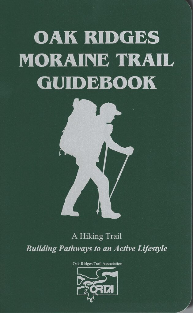
A hiking trail along the Oak Ridges Moraine. The maps in this Guidebook show trail route and access points. The trail is sometimes re-routed, and may differ from that shown on the map. If the blazed route differs from the mapped route, follow the blazes. The total distance of the main trail route is now 280 km with 87 km of side trails
Full-colour maps printed on a waterproof material, yupo synthetic paper
Reverse of each map contains information on the points of interest
The book is in a loose-leaf binder so that pages can be readily removed for use on particular hikes.
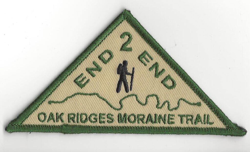
End to End Badges
Anyone who has completed the End-to-End of the Oak Ridges Moraine Trail must submit the End To End Form to qualify.