Scarborough - Highland Creek (Morningside Park)
Meet in the first parking lot of Morningside Park in Scarborough. From Hwy 401, S on Morningside Ave, 0.5 km S of Ellesmere Rd. on W side.
Highland Creek is a neighbourhood in eastern Toronto, Ontario, Canada. It is located along the southern portion of the river of the same name in the former suburb of Scarborough. To the east are the neighbourhoods of Port Union and West Rouge, to the west West Hill and Woburn, and to the south Centennial Scarborough.
The western portion of the neighbourhood is occupied by the University of Toronto Scarborough, a feature landmark in the area and a busy pedestrian centre.
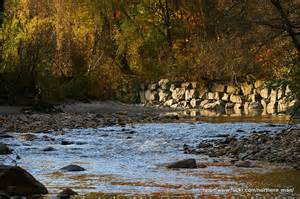
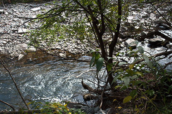
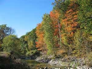
Historically, Highland Creek was one of the first areas to be occupied by native settlers in the area of what would later become the Township of Scarborough. This is mainly due to the presence of the Highland Creek, the river that runs through the neighbourhood, whose valley is occupied by large trees and wildlife. During the 18th and early-19th centuries, the area was home to vast farmlands and homes. In 1954, Hurricane Hazel destroyed many dwellings in the area and contributed to the flooding of the creek.
In 1963, the University of Toronto purchased the western part of the land from E. L. MacLean, who acquired the land from its original owner Miller Lash, a businessman from Old Toronto who built an estate on the land, now known as the Miller Lash House, in 1911. The university eventually built and opened the Scarborough College, which is today known as University of Toronto Scarborough, a satellite campus of the university.