Caledon - Palgrave Forest (Hwy 50)
Meet at Palgrave Forest Parking Lot, W side of Hwy 50, 2.2 km S of Hwy 9 or 0.5 km N of Palgrave Village.
Palgrave is a suburban community, located in the Town of Caledon, Regional Municipality of Peel, Ontario, Canada. It is located about 10 km north of Bolton and about 50 km northwest of Toronto. Palgrave is located east of Orangeville, south of Alliston, west of Newmarket and north of Brampton.
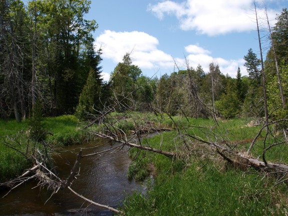
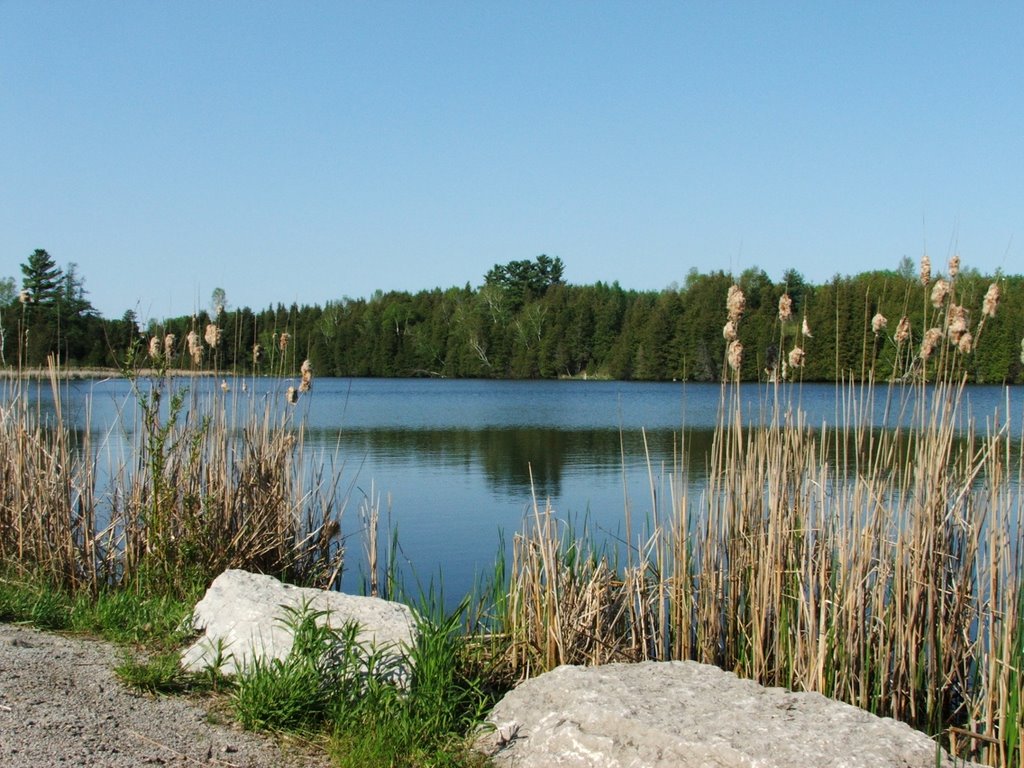
Palgrave is situated on the Oak Ridges Moraine, a 160 km long ridge of hilly terrain created by retreating glaciers depositing large quantities of sand and gravel sediments. The moraine is a primary source for many river systems in this part of southern Ontario. The nearby Palgrave Moraine intersects the Oak Ridges Moraine, and ultimately merges with it to the east, at the western boundary of King Township. The Humber River flows west of Palgrave. Several creeks and swampy ponds are found in the area and a former mill pond lies to the northwest. Mount Wolfe, one of the highest hills in the area, is located east of the town.
Palgrave was bisected by a line of the Hamilton & North-Western Railway (mentioned above). The line was abandoned by CN in 1986 and has since been rehabilitated and incorporated into a multi-use regional recreational trail which is part of the Caledon Trailway, The Great Pine Ridge Trail and the Trans Canada Trail. The Bruce Trail, one of Ontario's major recreational hiking trails, passes the town roughly 1.5 km to the west.
Palgrave is home to the Caledon Equestrian Park, which will play host to the equestrian portion of the 2015 Pan American Games. Many Equestrians who regularly horse show at the Caldeon Equestrian Park refer to the facility itself as Palgrave.
The Albion Hills Conservation Area is located 2 km south of the town and offers picnicking, camping, hiking trails, swimming, mountain biking and cross-country skiing.
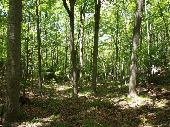
The Palgrave Forest and Wildlife Area (PFWA) is 306 hectares in size and is made up primarily of sensitive forest habitat. The PFWA is home to nearly 200 flora and fauna species of concern and provides breeding habitat for several sensitive forest bird species. Recreational opportunities include hiking, cycling, horseback riding and cross-country skiing.