
Markham - Unionville Urban Hike (Toogood Pond)
Meet at Toogood parking area. Take Main St Unionville north, from Carlton Rd 0.5km turn west on Toogood Pond to parking.
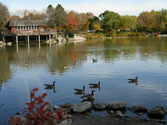
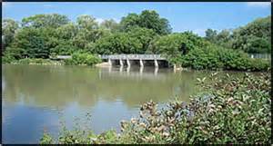
Toogood Pond is a 33-hectare park that has many points of interest including a partially naturalized pond and a marsh. A walkway circles the pond and is popular for taking leisurely walks. Nearby are the shops and restaurants of historic Main Street Unionville.
Unionville is a suburban village in Markham, Ontario. It is located 33 km northeast of downtown Toronto and 4 km east of southern Richmond Hill. The boundaries of Unionville are not well-defined, as it is not a municipal entity, but several communities claim to be part of it.
Unionville is composed of many neighbourhoods including the historic centre of Unionville, Upper and South Unionville, Angus Glen, Cachet, Buttonville and Victoria Square. Unionville is said to be one of the most affluent areas in the Greater Toronto Area.
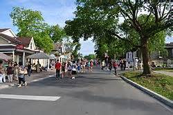
Tourism is a major part of Unionville's economy. The historic village or downtown section of Unionville is typical of a small town that developed over a century or so starting in the early 1840s (when Ira White erected his Union Mills) through the middle to late 20th century. The historic Main Street Unionville attracts thousands of visitors each year. Each year, thousands of people visit Unionville during the Unionville Festival.