Lindsay - Pontypool Fleetwood Creek (Wild Turkey Rd)
Region/Township: Pontypool
Coordinates: 44.142627 , -78.621845
Meeting Place/Parking: Take highway 35 and turn east on Ballyduff Road. Meet in road side parking on the south west corner of Ballyduff and Wild Turkey Roads.
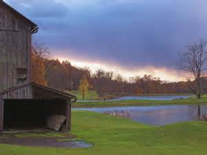
Terrain: Open meadow
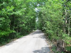
Sandy forest trail
Difficulty: Moderate
General Description:
Lindsay is on the Scugog River in the Kawartha Lakes region of south-eastern Ontario, Canada. It is approximately 43 km (27 mi) west of Peterborough. It is the seat of the City of Kawartha Lakes (formerly Victoria County), and the hub for business and commerce in the region.
Southern half of the City of Kawartha Lakes including the communities of Lindsay, Omemee, Pontypool, Little Britain, Cameron, Woodville and Kirkfield.