
Uxbridge - Brock Tract (Durham Rd. 1 / Brock Rd.)
Meet in the parking lot on east side of Brock Rd, 1km north of Uxbridge/Pickering Town Line. NOTE: this lot may be inaccessible in winter months due to snow accumulation
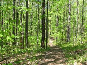
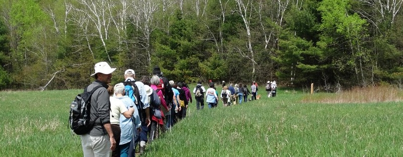
This area is referred to as the East Duffins Headwaters area and is, by far, the most extensive with over 100 km of trails spread over the 1,000 acre Durham Regional Forest main tract, and the 4,000 acres of conservation land.
The East Duffins Headwaters area contains mixed sections of hardwood and deciduous forest ranging from flat to hilly topography, and is renowned for its hiking, cross-country skiing, mountain biking and horseback riding.
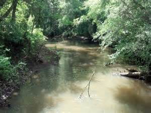
Duffins Creek watershed
The Duffins Creek Watershed stretches from the Oak Ridges Moraine to the Lake Ontario waterfront and covers an area of 28,300 hectares. This watershed is one of the healthiest river systems in the Toronto region. Over 50 per cent of the entire watershed is under the ownership or care of Toronto and Region Conservation (TRCA), federal and provincial governments and regional and local municipalities.
1401 Brock Rd
Uxbridge, Ontario L0C1A0
Canada