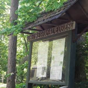

East Gwillimbury- YRF Bendor & Graves (McCowan Rd)
Region/Township: East Gwillimbury
Coordinates: 44.101330 , -79.338555
Meeting Place/Parking: The meeting place is in the Bendor Graves parking lot on west side of McCowan Rd. 1.3 km north of Davis Dr. and 400m., north of the rail tracks.
Terrain: Some hills
Difficulty: Moderate
General Description:
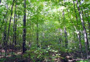
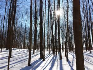
The Bendor and Graves Tracts are accessible by foot entrance from Kennedy Road north of Davis Drive on the east side of the road. This 201 acre tract has a variety of pine, white spruce, European larch, eastern cedar, and hemlock trees. Depending on the route chosen the distance varies from 1.8 to 2.4 km. The trail is suitable for hiking, cross country skiing and snow shoeing.
